
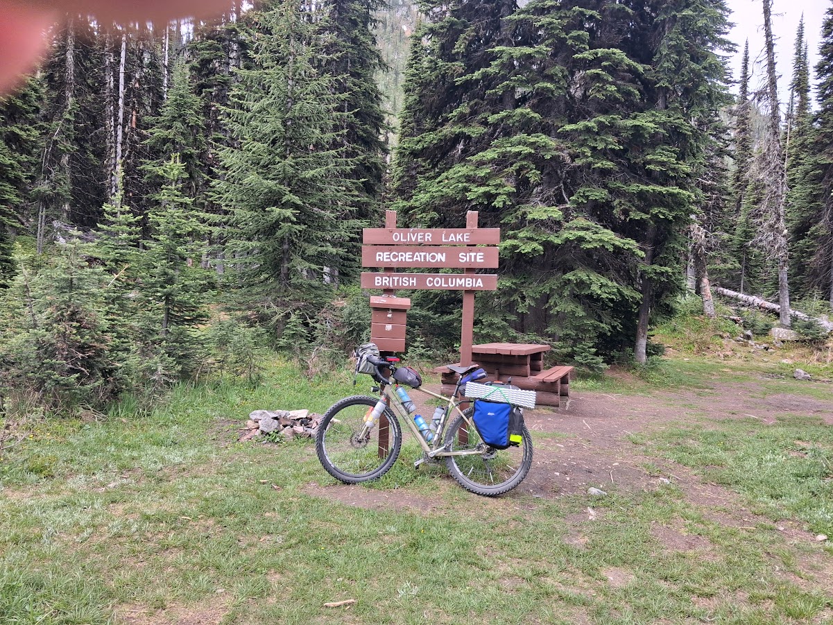
Warning- this is NOT a Randonneuring story. Since many BC Randonneurs have ridden the BC Epic 1000, and I suspect many others are considering it, I decided to share my experience. This is how I did it. If you want to know how to do it quickly, I suggest you talk to Mike Martin or Meghan Hackinen, who have both finished in less than half the time I took. There seems to be three basic approaches:
- the racers- elite athletes like Mike and Meghan, finishing in 2-3 days
- the fast tourers- finishing in 4-6 days (where I saw myself)
- the full value tourers- finishing in 10 days +
Note: that there is no wrong approach.
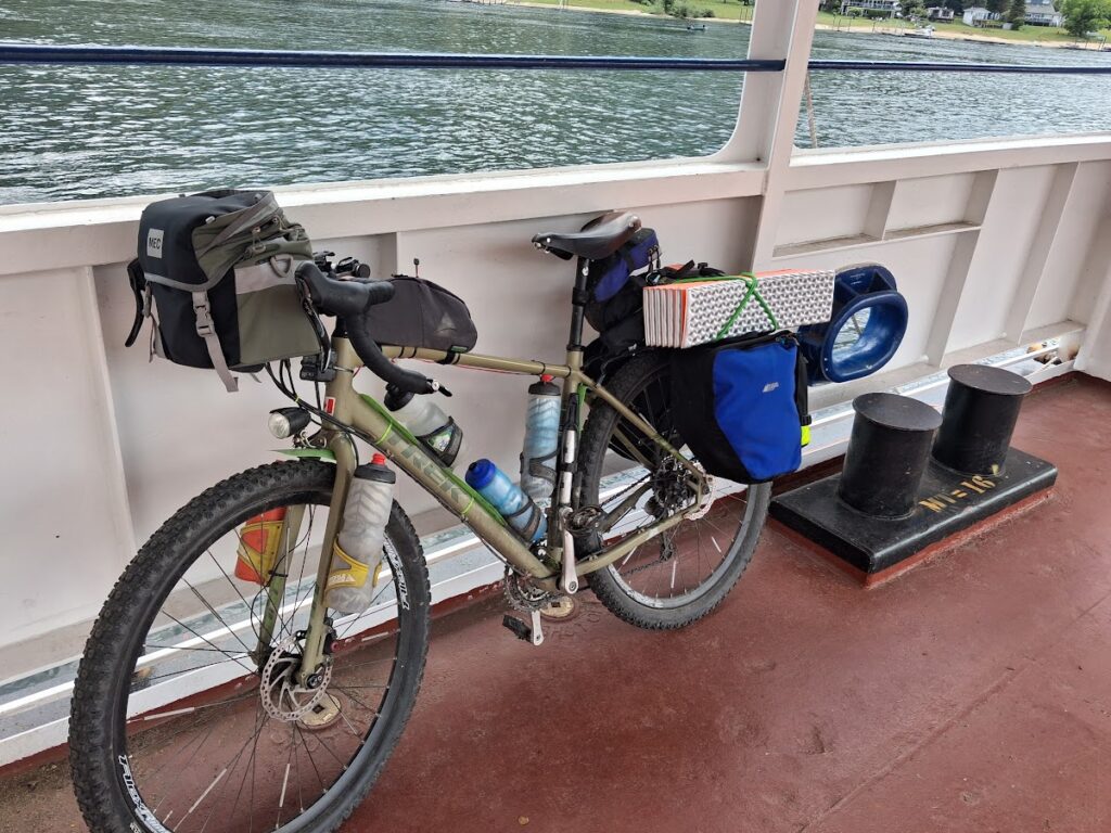
Preparation- I needed the right equipment. I have a Trek 920, perfect for the job, if a bit on the portly side. I wanted the fattest tires I could fit. I had some 2.35 x 29 Panaracer Rampage tires that I bought at least 15 years ago for my mountain bike, but never used because of lack of clearance. Fortunately, my Trek has room to spare! Would their age be a problem? I hoped not. Facebook Marketplace found me some virtually unused MEC panniers, and a reasonably light tent (even lighter once I swapped steel pegs for aluminum). I found an old vinyl air mattress stuffed in a closet and I was ready. Before the ride, people were posting what their setup weighed. I didn’t weigh mine, I didn’t want to know.
Because I was organizing the Interior Make Up rides on the day of the Epic Grand Depart, I started two days late as an Independent Time Trial. This worked to my advantage as I did not get caught up in the excitement of the start. There were 70 riders Eastbound from Merritt including me, two westbound from Fernie, and one Yo-Yo from Fernie (both directions, and on a single speed!) My ride from Merritt to Princeton went perfectly on a mix of paved and good gravel roads. A sandwich and chocolate milk from the Save-On and I was on my way.
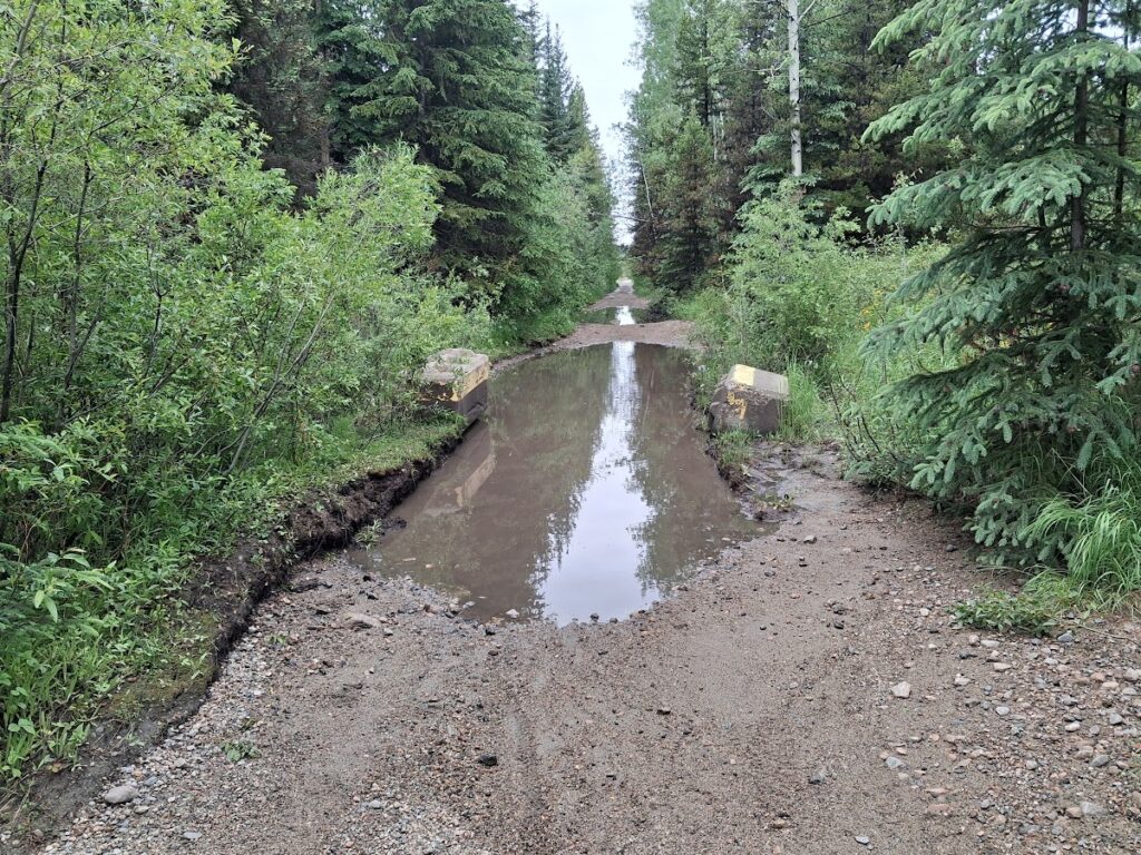
My first taste of the KVR was the climb out of Princeton. It was much looser gravel than I had hoped, and it was a long, slow climb to the top- about 45 km of nearly constant climbing at 1 to 2 %. The trail had been badly chewed up by ATVs. I met Jody, one of the westbound riders- she was on the aero bars on the loose gravel, looking strong and fast. Dean, on the single speed, had made his turnaround in Merritt before I started and was somewhere ahead of me. On this section I hit my first tunnel. I found my B&M dynamo light and the light on my helmet to be completely inadequate. You cannot imagine how dark these tunnels are! I found the only way was to stop just inside the entrance and wait for my eyes to adjust. Then, my lighting was just enough. I got into Penticton before dark, feasted at the A&W and decided to find a motel. Another benefit of my Monday start was that I was more likely to find accommodations without reservations than I would have been on Saturday. Before the start I had already scouted a cheapish motel but didn’t know the desk closed at 5 PM. Several phone calls later, they talked a housekeeping worker through checking me in. After a shower, I was ready for bed when I realized she had kept my drivers licence and credit card. More phone calls and another half hour wasted. I set up for morning and went to bed. Day 1 numbers- 233.1 km at 19.7 kmh.
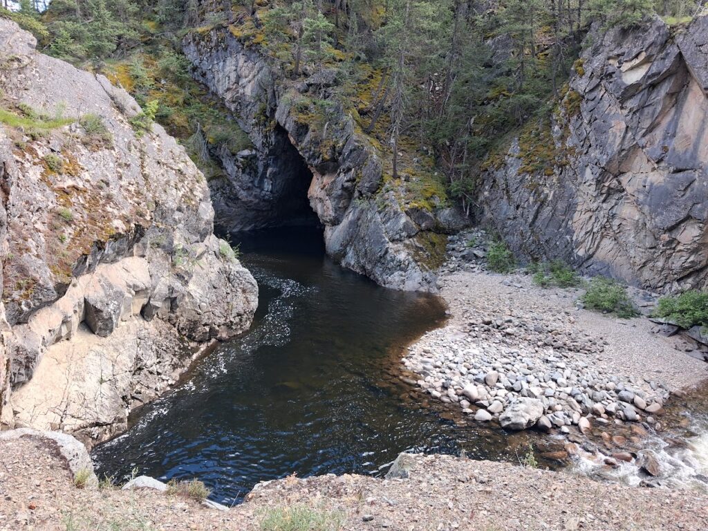
Day 2 did not start great- I made coffee in the motel room, but it did not go into the pot, The coffee pot was too short to push the button to let coffee flow down. Fortunately I had only filled it half full, and made minimal mess manually holding up the pot to allow flow. Unfortunately, the grounds were everywhere inside the coffee maker. I went to rinse the grounds out of the coffee maker in the bathtub, but the shower diverter had stuck- instant cold shower to start the day! I finally got going just after 5 AM. The rail trail towards Chute Lake from Penticton has a great surface at first, but, again, it is approximately 50 km of 1-2% climbing. After about 25 km, the surface deteriorates to an energy sucking, sandy, gravelly grind. I was glad I had decided to pack it in early the night before. The Adra tunnel was a blast with motion sensor lights to light your way, and about 2/3 of the way through, a realistic train sounds recording which, even though I was expecting it, still raised the hair on the back of my neck!
I didn’t stop at Chute Lake for water and was running low, so I bought some from the bike rentals at the Ruth Station end of Myra Canyon. The Myra Canyon section had a great firm, smooth surface, but was very busy with tourists, and I was once again glad it was not a weekend. Then it was back to chewed up gravel, but now with huge puddles, and occasionally rock gardens. I overtook Aaron, one of the Saturday Grand Depart riders in this section, but didn’t realize it at the time. I also met Sonya, another westbound rider who, despite being very confused and having just done a big loop off route only to have to ride the same ugly section for a second time, was in amazingly good spirits.
Eventually I popped out onto a paved road and followed the route to the right. That was a mistake, as I needed to have turned left to access Beaverdell for services. I passed Sean, another Epic rider, then turned around to retrace my path to Beaverdell, meeting Deb, who had been in Beaverdell when I missed the turn. The Beaverdell store didn’t have any of their excellent pizza, so I settled for a sandwich and a big ice cream cone (mint chip- I just couldn’t make myself have more rocky road).
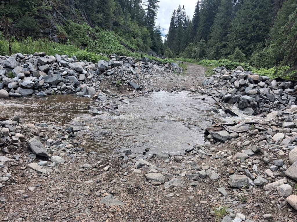
Back on the trail, still loose, but trending downhill, it was an easy ride down to Rock Creek, despite having to stop to open and close multiple gates. Rock Creek to Greenwood was not a fun section. It started to rain heavily. The trail was rough and narrow, with tall wet grass soaking me thoroughly. What made it worse was that I could see the highway right beside me, with low traffic and a nice, wide shoulder. I passed Sean again just before Midway, where he spent the night I rolled into Greenwood, ordered a pizza and went to find a motel. Why was I packing a tent? The lady at the motel was very nice, and used to cyclists- she showed me a hose to wash my bike, and by the time I got back with my pizza had put down towels for it to drip on. Day 2 numbers- 247.5 km at 18 kmh.
Day 3 started great- the coffee maker worked properly and I had leftover pizza for breakfast, plus more to take with me. There was an intermittent drizzle as I climbed the Eholt — another 30 km of gentle climbing, and a long descent into Grand Forks. I had planned to stop for a second breakfast in Grand Forks, but I had made a major mistake. Although while looking at the RWGPS map services seem close to the route, in reality it is really easy to miss them, and before I knew it I was through town having missed all the businesses. No problem, I have plenty to make it to Christina Lake.
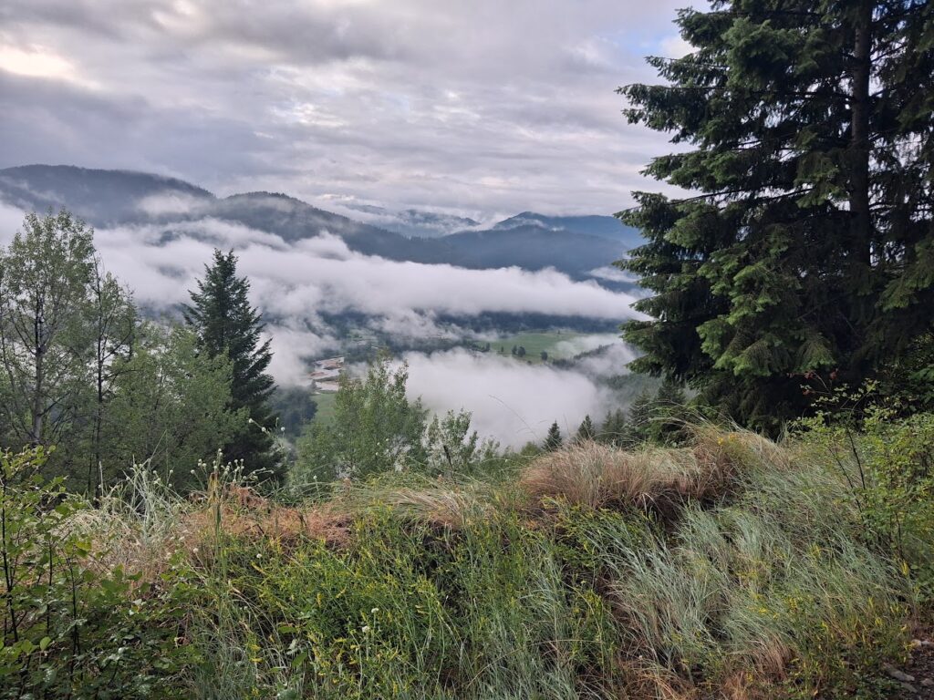
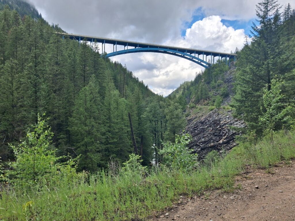
The trail was a bit rough, and steadily climbing, but the scenery made it worth it. Eventually I realized I was right above Christina Lake -WAY ABOVE!! I stopped to ask some hikers if I had missed the turn, but they said it was just ahead. Sure enough, there it was, but I decided to give it a miss, rather than add a massive climb to my ride. I still had quite a bit of food left. I continued on up the climb, under the Paulson bridge (which looks even more impressive from underneath) to the summit, passing two women epic riders. The one I talked to was planning to scratch in Castlegar as she had to work the next day. As I approached the summit I caught sight of another rider who raised both arms in victory as he made it over the top. Then he put on a burst of speed and I never saw him again. I sat down and ate my leftover pizza. The descent was fun although rough and rocky.
The Bulldog Tunnel did not feel as long as its 912 m advertised length. I met two westbound riders from Victoria, who had started in Kananaskis. They told me the west (up) side of Grey Creek was in good shape, but the east side was rough. They also warned me about a difficult section of singletrack between Castlegar and Trail. Oh well, how bad can it be? Once again, I managed to get through Castlegar without accessing any services. I had packed a lot of food, and water was not a problem as I had a Steripen and had been getting water from creeks, so I decided to push on to Trail, rather than backtrack. Then it was onto the famous singletrack.
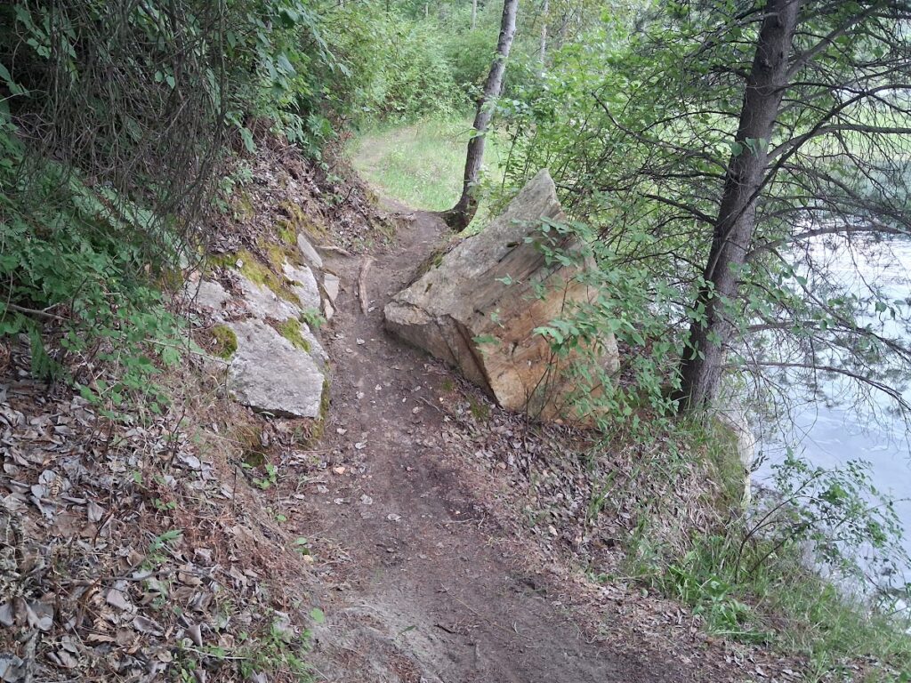
If I had been on an unladen mountain bike, it would have been just a bit above my skill level. On a fully loaded touring bike… well, lets just say I walked a lot. I thought I was through it, and was stopped uv-treating my water when Dean came by — he had found a Subway in Castlegar and I had passed him without realizing it. He said “The next section is really fun- blue level mountain bike trails”.
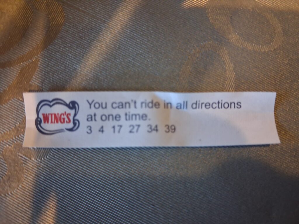
Once again, it was above my skill level, but at least some of it was rideable. The route through Trail was on the wrong side of the river for any services, so I crossed the Columbia River Skywalk — an amazing bike and pedestrian suspension bridge, and found an open Chinese restaurant. What a great feast! I had been hoping, at best, for fast food, but this was just what I needed. My fortune cookie said “You can’t ride in all directions at one time”. Tomorrow I would prove that wrong.
Just a few rolling paved kms down the road was Beaver Creek Provincial Park, so I decided to tent it. Tent set up, I tried to inflate my air mattress. No go. The internal framework of my pannier had worn multiple holes in it. I showered and slept as best I could, feeling every little rock under my tent.
Day 3 numbers- 208.2 km at 15.9 kmh.
Day 4 should have started well, but shortly after I started, I took a wrong turn. I should have known something was wrong, because it was easy going on smooth pavement. When I got to a sign announcing a border crossing I knew something was VERY wrong. My GPS had somehow lost satellite contact, and I could not figure out how to reconnect. I will never know how the gps connection got turned off, but if I had not been brain dead, I could have turned it back on in seconds (which I did when I got home). Fortunately, I had my backup GPS, a very basic E-Trex 22, which saved me. Once back on route, it was an easy paved ride to Salmo, where I stopped at the home of a rider who had offered support to anyone who needed it or wanted it. Robyn had been watching my dot and was waiting for me. A visit and a nice, cold Coke and I was on my way up the rail trail towards Nelson. He also gave me advice about where to find a replacement mattress. The rail trail is loose gravel, and I was trying to go as quickly as possible. I soon realized that was stupid, dropped the speed to 15 kmh and enjoyed the ride. There was a short section where it was strongly suggested that we get off the rail trail onto the highway to avoid grizzly activity, and the pavement was a treat. I did not see any bears, but once over the summit there was an enormous pile of bear droppings every 10 metres or so.
Just before the long, smooth descent into Nelson, I passed a group stopped at the side of the trail who cheered loudly as I passed. They must have been following the race on Trackleaders. In Nelson, I diverted to the Walmart, bought an accordion folding foamie, bungees to hold it on, and a bunch of food, before rolling towards the ferry at Balfour. I stopped for a snack (Chef Boyardee ravioli straight from the can) and to fill my water bottles at Kokanee Creek Provincial Park, then cruised to Balfour, and straight onto the ferry. I got a great hamburger on the ferry, plus a grilled cheese sandwich for my breakfast. I opted to overnight at the Crawford Bay campground and set up my tent on soft grass, had a refreshing shower and was in bed long before dark.
Day 4 numbers- 150.3 km at 17.9 kmh
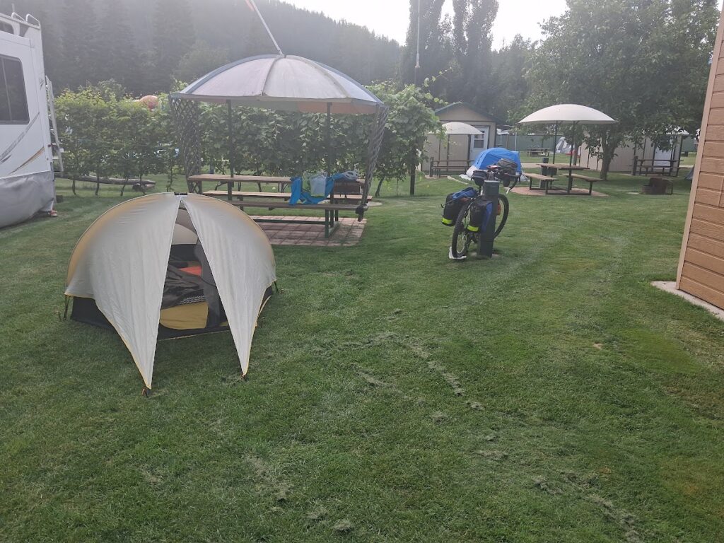
Day 5 started well. My strategy to hit the Grey Creek Pass early paid off. The temperature hovered between 12 and 14 degrees C, perfect for the steep 17 km climb. There were lots of rabbits in this section, bigger than any wild rabbits I have ever seen. I walked two short sections, each about 300m, and had a few rest stops to get my heart rate down. I stopped at a beautiful campsite near the summit and watched ground squirrels as I rested.
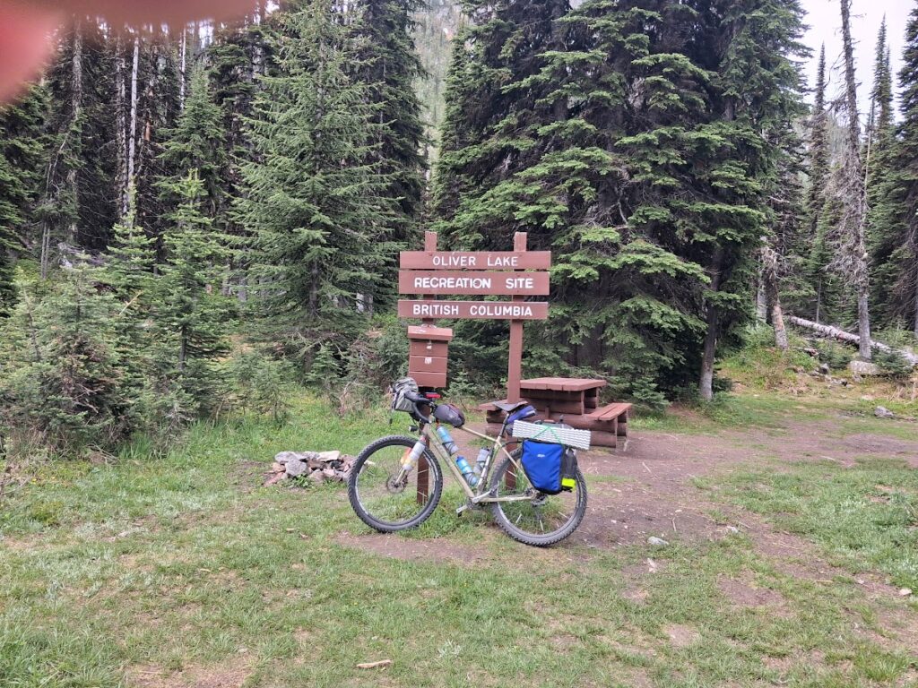
As expected, the descent was long and rough, with a few washouts. Coming into Kinberly, I missed another turn (not sure how, it was obvious when I backtracked to fix it), and once again missed any and all services. Oh well! Easy, downhill paved rail trail to Cranbrook. By the time I rolled into Cranbrook, my food supply was down to four Haribo Cola gummies — that is cutting it too close! I checked in to a cheapish motel across from all the different fast food franchises. I left my bike in the room and walked across the highway — not to fast food, but to the Superstore. Mac & cheese and potato salad for supper, more gummies, dried apricots, a box of granola bars and two sandwiches for tomorrow. A bit of a problem with the Mac & cheese — you would expect a single serving to be in a microwaveable container. It was not, as I found out the hard way.
Day 5 numbers- 139.1 km at 14.5 kmh
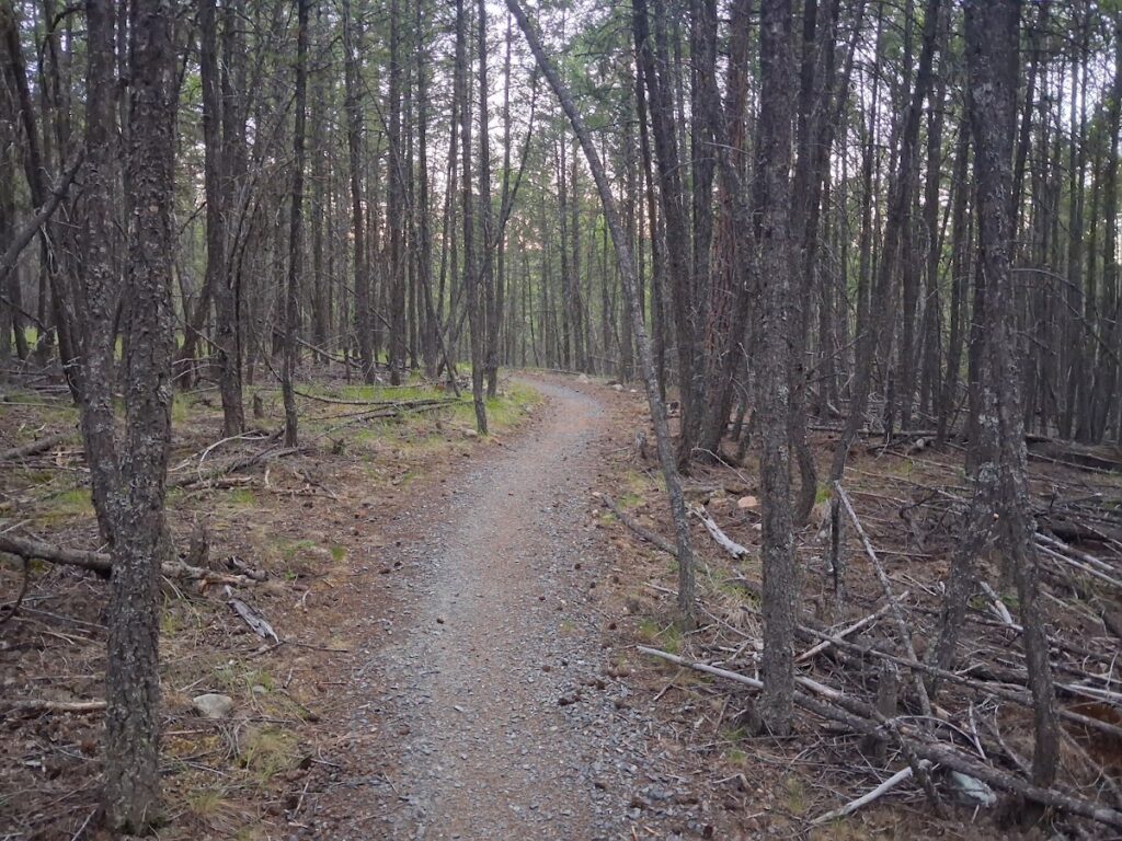
Day 6- WHAT! No coffee in the motel? Instant would have to do. I started an hour before daylight — my first riding in the dark of this ride. Nice, smooth, well-groomed rail trail gave way to buttery smooth flowing single track as daylight arrived. The day continued with a good mix of roads and pleasant trails through parks and campgrounds and life was good. I passed a couple of women who had started a week before I had and were making a real holiday of it. Then I got to Elko — missed the services. What else is new?
The trail dropped down to river level and then started to climb, steeply, on a trail covered with loose rolling rocks. It may have been rideable for some, but not for me. Even walking it was exhausting. However, the view was spectacular and took some of the sting out of it. Eventually it ended, and then it was a winding, rolling trail through rolling meadows — easy to ride, impossible to ride fast. I sent a message to Susan- about 35 km to go — at least three more hours unless it gets easier. This gave way to overgrown roads, which gradually got more and more well used until changing to good gravel and finally pavement as I rolled into the finish at the Fernie City Hall, where Susan was waiting for me. Once again, I was down to my last few gummies (wine gums this time). My message hadn’t gotten through, but my tracker had done its job. DONE!
Day 6 numbers – 146.3 km at 14.8 kmh.
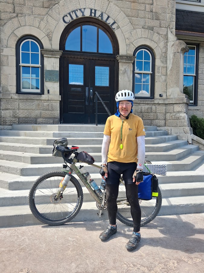
I finished 26th of 70 eastbound riders, in a total time of 5 days 7 hours 41 minutes. I rode one hour in the dark, and spent an average of 10 hours at each overnight (shortest 8 hours, longest 13 hours). For comparison, Svein Tuft finished in 2 days, 2 hours, 11 minutes. But he is, as Manfred would say, a different biological specimen (read Superhero). Two nights tenting, 3 motels. No mechanicals, unless you count the gps and the air mattress.
For those wanting to do this ride:
If you are just riding the route as a tour, I recommend skipping the rail trail from Rock Creek to Greenwood in favour of the highway. Also, as a touring rider, I would ride Highway 22 down the west side of the Columbia River between Castlegar and Trail. It is a really pleasant ride. The official route is……not. The highway between Salmo and Nelson is nicer than the trail, until the point where it crosses the highway from the summit. Of course, if the Epic is your goal, you need to follow the prescribed route. WHATEVER you do, edit the RWGPS route to take you to services. They are few and far between, and can be hard to find if you don’t know exactly where they are. I could have been in serious trouble if I had not been packing so much food. Be prepared for wildlife. I did not see a single bear. Maybe my bear bell kept them away. I also had a very loud whistle (works great for dogs), and bear spray just in case.