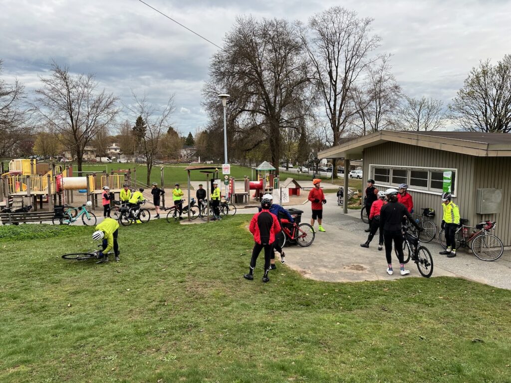
We met at a Clinton Park. All I really knew is that I was somewhere east of downtown Vancouver. We were a group of more than 30 riders getting ready to set off on the day’s adventure. The start was strategically located at a lovely looking washroom building—that was securely locked. I was pleasantly surprised that the weather was dry and calm. The forecast earlier in the week had been somewhat miserable.
At the designated time, we set off. Fortunately I was with a bunch of riders who knew the bike routes well. I am certain I would have taken the wrong path on more than one occasion. We cycled past the Roger’s Arena and BC Place heading into downtown. The group was moving fast, which worked out well for the traffic lights. Most were counting down the last few seconds as we whizzed by.
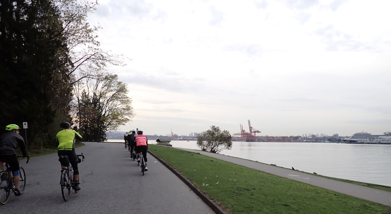
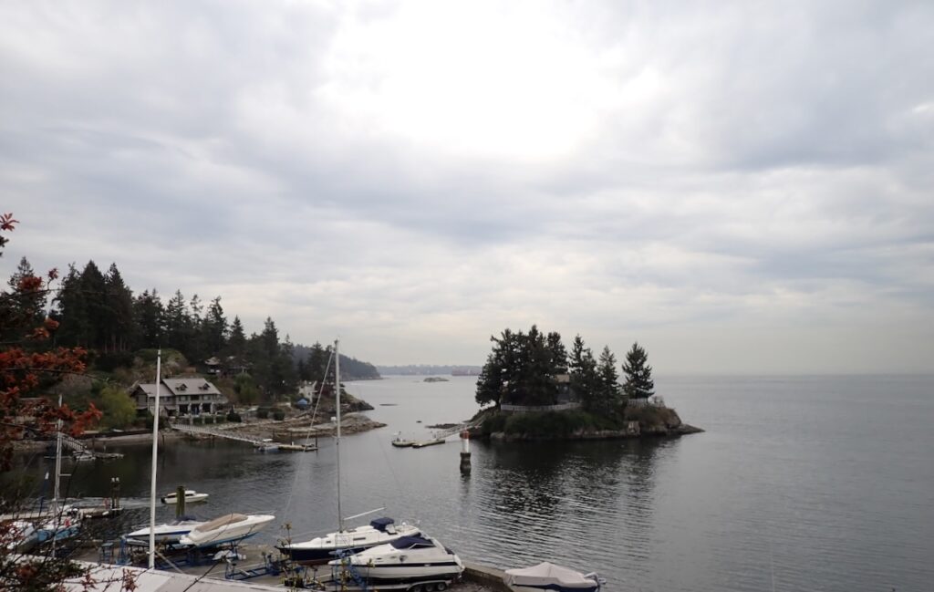
We continued through Stanley Park, past the totem poles and eventually up onto the Lion’s Gate Bridge. We followed the Spirit Trail into West Vancouver. We had a rollercoaster ride past all the magnificent mansions on Marine Drive to our first control at Whytecliff Park at Horseshoe Bay. Fortunately, this washroom building was open. After completing our control cards, we went back onto the Marine Drive rollercoaster towards North Vancouver.
The climbing started in North Vancouver. The grades were easy but the hill was almost relentless. The first level ground was at Lynn Valley. Here a string of traffic lights was perfectly timed to turn red just as I arrived. The constant stops and starts were harder than the climbing. A short gravel section over a narrow bridge brought as to the Seymour Valley Trail. It was a smooth, paved trail through the forest to our next control by the Seymour Dam.
The return was mostly a fast descent although there were some barriers to prevent too much high-speed riding. A number of us stopped at the end of the trail to fill our water bottles before continuing down to the Second Narrows Bridge. After the bridge, we joined the Trans Canada Trail through Burnaby. Much of the trail was well packed gravel. I reached a short, steep pitch that I didn’t think I could get up without losing traction. I jumped off my bike halfway up and pushed it to the top. Shortly after, we arrived at the next control. This one was fully staffed. Mike was there with his wok to make fried rice to order! There were treats, chips and fruit for the taking. I left the control with my bottles topped up and a banana in my pocket.
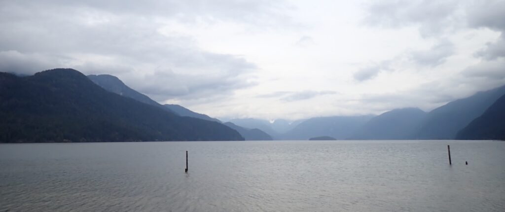
We rode through Port Coquitlam and into Pitt Meadows. There we had about 60km of pancake flat riding. We started out along a wide dyke path along the Alouette River and then turned north towards the control at Pitt Lake. I hadn’t realized there was a wind until we got to the exposed Pitt Lake Dyke. This was the first time I had actually seen Pitt Lake. I had been to Pitt Lake on last year’s Hopeless 1000, I had imagined it might be pretty but it was pitch dark, raining and I was beyond exhausted. The reality was a pretty lake nestled between mountains.
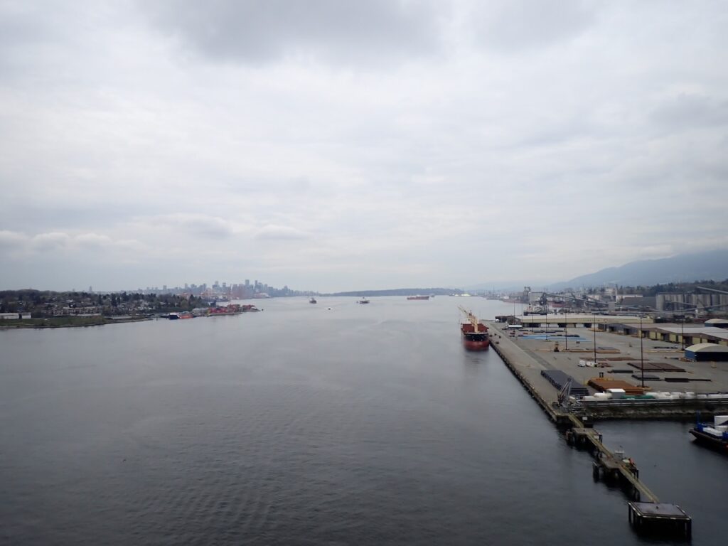
The headwind took a little off my speed on the return but I was still moving well and enjoying the ride. At one point a huge tractor passed me. It was doing about 30 km/hr and effectively blocked the wind for me. I followed it for a while but when it turned a corner, I was caught in it’s fumes and had to let it go. Back over the Pitt River Bridge and into Port Coquitlam. The flat riding ends abruptly with a long steep climb. Another water bottle refill then we drop back down to sea level and follow the Fraser River to our last control.
The last control is only 6km from the finish but to finish, we must climb about 100m. The riding is mostly on quiet, residential streets that are designated cycling routes.
It was a lovely course but, it was also slow going with the terrain and all the slow downs that are part of city riding. The consequence is there is no chance of catching an early ferry home. I will be on the last sailing, which means a late night at the end of a long day. But I’m happy.