| Newsletter - 2014 Archive |
|
Cycling Club |
 |
| Newsletter - 2014 Archive |
|
Cycling Club |
|
Next--->
|
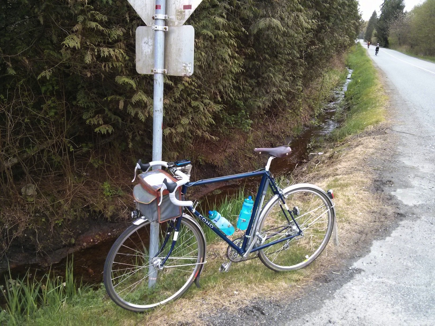
Ryder Hatzic Hill 300 Introducing the Ryder Hatzic Hill 300, like its namesake the lanky Canadian, this route is not afraid to go up and down. Also at the end of a long day in the saddle, its likely to have put some hurt into you. This ride features Sunnyside Rd out to Buntzen Lake, the Dewdney Trunk hills, Stave Lake Rd, Sumas Mtn, Ryder Lake and some lumps out through Abbotsford to Fort Langley giving a total elevation gain of roughly 3000m at the end. Some notes from the pre-ride: The first 3 controls (Buntzen Lake, Hartley Rd, Sumas Mtn) are all information only. From Stave Lake Dam until the route turns west on the Lougheed there are very few services for ~35km. Consider stopping to replenish on Dewdney Trunk Rd. There is a General Store just before the descent towards the dam which is the last option for a while. Fort Langley is the last control on the route. Once you have made it there the climbing is generally behind you. You have a choice of local businesses to stop and have your card signed. The Fort Pub is open late and they serve Guinness but you can stop somewhere else if you wish. After crossing the Pitt River Bridge on the bike path take a sharp right to pass under the bridge and take a left at Freemont at the roundabout, then follow a few turns indicated by "Bike Route" signs. You should end up on the bike path going westbound in an isolated lane with eastbound cars to your right. This path will end at Kingsway where you will take a left and head towards the river. Pass straight through the barrier up on to the gravel path and take a right to head west on the Traboulay PoCo trail. Continue on this until you get to the end and then continue on the traffic controlled Argue St. From Argue take a left to head west on the Mary Hill Bypass, stay in the right lane to exit and then a left turn to take United Boulevard west. From there one last turn on to King Edward and then ~13km on the Lougheed to the venerable Kinght & Day for the finish. *Important Note about the descents*: there are few steep descents on this route. In particular Stave Lake Rd, Sumas Mtn Rd, Thorton Rd and Graham Cr/Lefeuvre Rd are very steep with potentially poor road conditions and tight corners. Please exercise caution and err on the side of safety on these descents. See you on Saturday! Bonne route,
Go to: Route & Info Page Go to: Pre-ride Photos (13 Images - Flickr) April 25, 2014 |