| Newsletter - 2012 Archive |
|
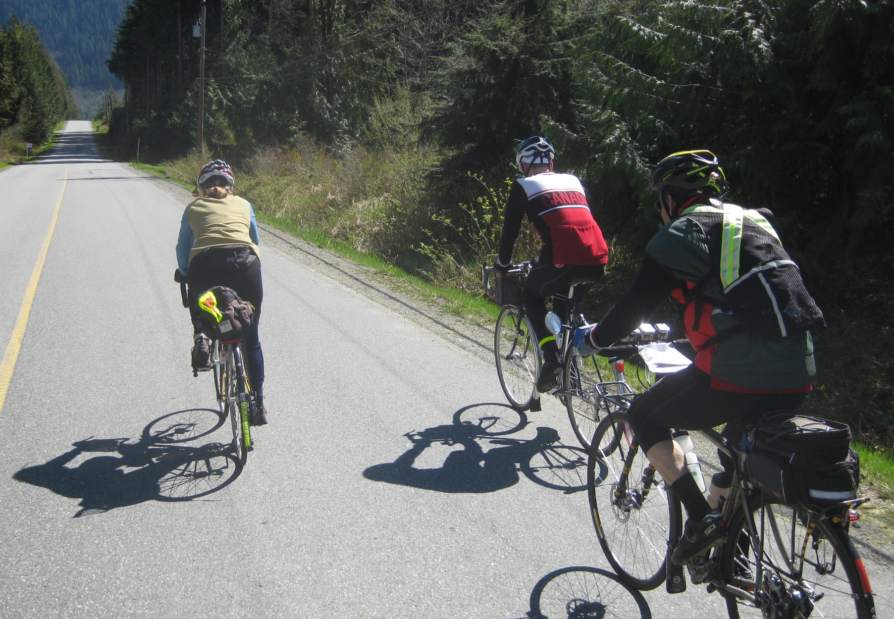
Cycling Club |
 |
| Newsletter - 2012 Archive |
|
Cycling Club |
|
Next--->
|
Crouching Rat 300 Route Information Go to: Route Here are some notes from the pre-ride: Please take note that the first control is only 35km from the start and there is a pretty good hill leading to the control. Be aware of your time and try to avoid starting the ride late. Once up there enjoy the views. It's called Panorama Dr for a reason. This control is an info control but there is a 7-11 about 200m down the road on the left if you want to fuel up. Take care on the gravel bike path leading to the Pitt River Bridge crossing. There is a road closure (for vehicle traffic) immediately after the Sumas Mtn control. Shortly before the control (right hand turn at a stop sign, don't continue on down the hill) on Lower Sumas Mtn Rd you will see a sign "Road Closed-Local Traffic Only". Ignore this sign and continue on. This road will bring you to the control. Right after the control there is a barrier across the road. Go around the barrier and continue on. The road has started to slough off on one side and is not safe for truck traffic but is OK for bicycles. There is quite a bit of debris on the road, fallen branches etc as the road has probably been closed for some time. Be careful picking your way through. There is also some broken glass immediately after the barrier. Proceed on, watching out for the second barrier. Once past the barrier continue on this road until the next turn. The real climbing is over at that point. The next part of the route gives you a pretty long stretch of flat roads with little wayfinding. Once in White Rock be careful of pedestrian and sightseeing vehicular traffic on Marine Dr. In Ocean Park, before you get to the Crescent Beach control, there is a Subway near the 128st/16th Ave turn. If you are feeling hungry, consider stopping there as there wasn't much open in Crescent Beach. Railway Rd leading to the Mud Bay bike path was crushed gravel for a road bed. This may or may not be paved by Saturday. The paving preparation stencils were on the gravel. If it is gravel, be cautious as the surface is somewhat loose. Once on the Mud Bay/Boundary Bay path again be careful. The surface is fairly decent flat, compact gravel. It will slow you down however. My advice is to drop down a few gears and accept it. The views are nice and there is generally an amazing array of bird life along there. If you fight it and push hard it can tire you out. Once off the path your bike will feel motorized! A note about the route through the city out and back to the start/finish: the route follows designated bikeways which I have indicated in brackets which may help simplify your route finding. Parking: There is generally a decent amount of parking on the side streets. The elementary school that is 2 blocks east and 2 block north has parking in front of it that is available on the weekends. In my experience there is more regular street parking available south of Broadway than north. Make sure that there are no "resident only" signs, you need a decal for that. There are far less of those south of Broadway. We park our car on the street in front of our house at 13th and MacKenzie every night. In terms of actual parking lots, I believe there is parking at the Kits Community Centre by Kits High and at Connaught Park (16th and Carnarvon). Both of those places are about 7 blocks from the start. See you there!
- April 24, 2012 |