| Newsletter - 2012 Archive |
|
Cycling Club |
 |
| Newsletter - 2012 Archive |
|
Cycling Club |
|
Next--->
|
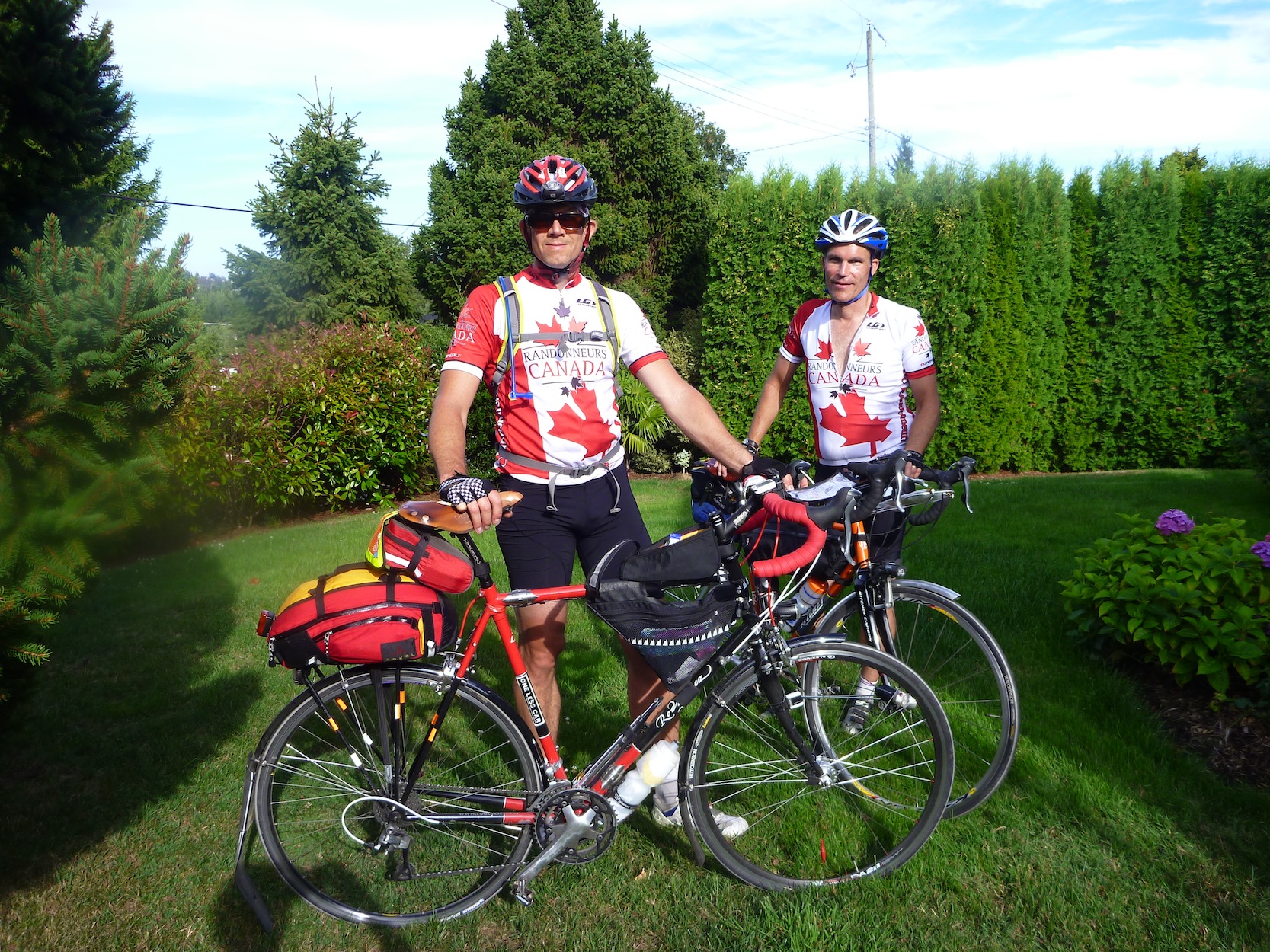
Ripple Rock Ramble Pre-Ride Report From Wikipedia: The ride name came from this historic location and event, which is near Campbell River, the appoximate halfway point of this 600 km brevet. And if you are a fast rider, like Nigel or Ken, you may have enough time and daylight to do the ~30 km round trip out to Ripple Rock, just north on Hwy 19 toward Port Hardy although this is not part of the offical route...so it would be for shear pleasure you take this on! The Ripple Rock Ramble (RRR) 600 starts at Jims House, in Victoria, at 5am. As organizes, Philip Lennox and I decided to pre-ride this 600. The route started with a short run up to Elk Lake, where an info control is located. After writing the name of the beach on the Control Card as seen on this sign we continued the ride to HWY #1 north. Used on other brevets, we entered the HWY from Watkiss using a bike path located behind a bus shelter. Once on the HWY, using the bike route to get out of town safely, we headed up the Malahat. The road was not that busy at this early hour on Saturday morning, so was very pleasant with spectacular views. Going down toward Mill Bay we took the exit from the Hwy toward the ferry, at the bottom of the Malahat and entered Mill Bill from the ocean road. We then rejoined the TC up to Fisher. This nice road took us toward Cowichan Bay. After a few turns we decend into the seaside village of Cowichan Bay. There is a fabulous Organic Bakery that makes THE BEST cheese twists...so if you are feeling hungry stop for a quick bite. From Cowichan Bay familar roads took us to Maple Bay, then to Richardards Trail, and our second control in Chemainus. There is a Subway, but also another great bakery just off the main road (just down from Legion called the Utopia Dutch Bakery used for Hell Week rides). After a quick stop and refuel, the road heads up island toward the highway and Ladysmith. Kabooooom....like the Ripple Rock explosion, Philips tube exploded just after leaving Ladysmith. He may have overinflated it a bit and add to that the extreme hot weather and hot roads. We did a quick but hot tube change and were off again up to Cedar road. This brought us into Naniamo. Always a challenging route to get through Naniamo, this time was no exception. The hill up from the BC Ferry terminal is very steep, and traffic is heavy with little room for bikes. Finally after much climbing we reached the third control. The gas station is being torn up but the 7-11 is open. Keeping hydrated was challenging in the heat so keeping the Cambel Bak full was important. At the 7-11, water was bought and electroye powder added and chocolate milk consumed. The weather, which for weeks had been absolutley perfect, was today, the day we chose to ride, beginning to deteriorate. Clouds were gathering in the north, although it was still hot and humid. From Naniamo we took the Hwy and then Northwest Bay Rd into Parksville. On this stretch we got rained on, as a shower passed overhead. A stop at Serious Coffee just after coming off North West Bay Rd, allowed us to eat and get some caffine, while the showers passed. Philip left a bit earlier to go to Arrowsmith Bikes and buy some replacement tubes. I was a bit grumpy at this point because I was not looking forward to ANOTHER WET RIDE...especially after the weeks of perfect weather. But I looked at the forcast for overnight conditions in the towns up island and it looked OK. The rain had also stopped locally so I met Philip and we proceeded on. My mood got better as the rain stayed away. The 19A was busy on this "Summer" Saturday. I always find the stretch between Qualicum and Buckely Bay seems to never end. That is until I came up with a mental game. There are two and 1/2 distinct climbs which define this part of the route. Now I just count them off as we pass over them and it goes by nice and fast. Once the last little hill is over the ride flattens out considerably. Time lost on the slower southern sections can be made up nicely. So after a quick water and bathroom break at Buckely Bay Petro Can/Subway we headed toward Courtney on flat fast roads with a slight tail wind. As we passed The Kingfisher Resort and Spa, the thought of a past nice weekendst spent there with my wife filled my mind...ok concentrate on riding... Courtney arrived and we quickly passed through it on our way to Comox. Both Philip and I had never ridden through Comox before. It turned out to be really nice and fairly flat. At the corner of Anderton and Guthrie is a great place to get your card signed as both a Tims (open till 10p) and Subway are in the area...but it is YOUR CHOICE so other options exist too. It was great to pass the Comox airport/airforce base and see the amazing machines on display. Philip has his pilots license and is very knowledgeable about all manner of flying machines so could tell me what each one we saw was. As night approached we turned back onto the 19A and headed to Campbell River. We passed Black Creek where the sound of race cars at Saratoga strangely mixed with the calm smell of camp fires from Miracle Beach Camp Ground....we had already decided to head to this same spot, by the mini golf and post office in Black Creek, on our way back for a short sleep on the warm woodend porch. The lights of Campbell River soon appeared and we made our way to the 24hr Tims which we used as our control. We took a break for about 45mins and then headed out, u-turning and heading south. And just as the first wave of sleepiness hit, Black Creek arrived and the first of 5 "porch" naps for ride began. I set the timer for 30 mins and we slept. When I woke a giant spider had found its way onto my bike...I screamed and Philip flicked it off...actually it was quite small...but I hate spiders. The route back down the island has very little navigation and so we found ourselves coming back to the steel bridge in Courtney when the tell tale sound of another flat tire met our ears and Philip had his second flat. I dutifully checked his tire over again and he finished the tube replacement. This time we were in an RV SALES lot with lots of light and not as hot. The Courtney control we used was again a 24 hr Tims...I was getting sick of Tims food by now, but thankful they are open. This stop was a quick one and we were off on the nice flat section to Buckely Bay. As we headed toward Buckley Bay, in the distance we could see lightning. Thankfully we never caught up to the storm and continued to enjoy a rain free ride. The porch of the Petro Can store provided the next bed for us and 20 min of sleep. Somewhere between Buckely Bay and Qualicum as we passed over the 2.5 climbs, we needed a 3rd 20 min nap and so found another business with a porch. Finally, as the sun came up in the East, Qualicum Beach appeared and we headed to the Laundromat by the Shell Station. We enjoyed a good 30 min nap warm inside the Laundromat. It was around 645a when we arrived in Parksvilled, the next Control on the journey home. Not able to stomach Tims for breakfast our choice was a local coffee shop(Cha Ch'a Java) that opened at 630. It had great coffee and fresh breakfast wraps...we ate well after the long night. Daylight always helps keep the sleepiness away...It was a cool moring with no sign of the previous days heat as we retraced our steps to Naniamo. New to us was the section that followed the E&N trail. At Mostar we started the trail and it was most enjoyable, without the noisy traffic and unfriendly drivers usually found in Naniamo. After leaving the trail at Holly we used the "Back Roads 400" route that comes out on 10th St by the South Naniamo Tims. This was the second last control. Leaving Naniamo, the TC merges with the 19 and this is a very dangerous section because you need to cross where cars are fast moving. It was not too busy so we managed fine. The route now follows the highway all the way to Duncan. In Ladysmith with had our 5th and final 20 min sleep on a warm stone wall in the park beside the highway. The route detours through Duncan and then back onto the TC #1. When we reached the Cobble Hill exit Philip needed a bathroom break. At this exit is a nice Country Grocer. I went and got us some water while he did his business. We continued the ride into to Cobble Hill toward Shawnigan lake. Although this route provides a way around the Malahat for the return trip it is not my favourite way. The pavement qualtiy is very poor and the amount of traffic is high. Add to that no shoulders and lots of big trucks and I would much rather take the Malahat. We came to the junction where this route turns to go around the lake instead of through the village of Shawnigan lake. Here is the last info control. There is a private school on the shores of Shawnigan Lake, and when we got to the sign that names the school, we wrote that name on the control card. Our journey down the island brough ever better weather. The cold winds and clouds of Naniamo gave way to warm temperatures and bright sunshine by Shawnigan lake. The climb up from the lake to the point where we rejoin the Malahat is a dangerous narrow road, where closing speeds of trucks coming from behind make for a difficult ride. Once back on the Malahat it was a fast decent to Goldstream Park. What made this part of the trip so memorable was that many of the big trucks that had passed us on the Shawnigan Lake Road now stood deadlocked in a massive traffic jamb, and we could pass all this by as the bike lane was free and clear. The last section of tight curves saw us passing every car until near the bottow when traffic moved faster. Just past the lights and turn off to the Harley dealer, Goldstream Ave veers of the highway, and the last few km's took us through Langford, into Colwood, over the Gorge Waterway and back down Burnside to the flower streets and Tulip Ave... Both Philip and I wanted to improve our time over previous 600's. The only ones we had ever done where both during Hell weeks 2010 and 2011. And we succeeded by being faster by 2+ hours. The route checked out very well, and my bike computer was never more that 0.5kms off at any one time. I made a few tweeks to the route sheet but no major changes were needed. This is a fantastic route and thanks must be given to the orginal creators. If you are looking for a very nice fall 600 with no isolated bits, lots of services, and options for hotels, this is your route. If you have not done a 600 before, then this one would be a great one to do as your first for all the reasons mentioned. So come out to the Island on Sept 8th and ride the Ripple Rock Ramble 600...for any Mainlanders...both Philip and I are offering our spare rooms. Eric has stayed at my house before so he can vouch for the 5 star accomodations! and Philip's place is just as nice so see you in a few weeks.
Go to: Jim's Pre-ride Photos (picasa) August 27, 2012 |